I had been thinking about it for some time: to go see the sea by foot, from home across the mountains. Grab my backpack, fill it with my sleeping bag, some clothes, some food and set off on an adventure. A friend and I did it in summer ’07, with a half crossing of the Chartreuse mountains from Grenoble to the Col du Coq as a prep test. We took some kilos out of our bags, added two boxes of Compeed© and some hiking guides, and took off.
We planned to leave on June 24th, 2007 and to arrive at the sea around July 7th, meaning around two weeks of hiking. A piece of cake.
Hiking on the GR5, two routes exist: head toward Nice or toward Menton, through the Vallée des Merveilles. We decided to do the later, as this Valley is famous for its petroglyphs.
June, 24th: Modane – Névache
My parents drove us to Modane, where we began our journey with packbacks filled to the brim. My parents walked with us to the pass of the vallée Etroite, and then the adventure began. The sceneries were beautiful, the sun was high and local people were looking at us in a funny way. Our walking speed was good despite our bags being heavy on our shoulders. We took a break near a stream, put our foot in the chilly water, ate a sandwich and resumed our walk to Nevache. We slept on the edge of the forest above the village.


Balthazar, Melchior and Caspar.
June, 25th: Névache – Barcelonnette
In the morning the weather was really bad, the summits were lost in clouds and it was drizzling. Our hike to the Grande Peyrolle was too risky, so we decided to head to Briançon, the next town, and then get back on the GR5 trail. The more we walked, the worse the weather was becoming. We decided to change our route, as the weather forecast was unable to correctly predict weather, and we didn’t want to take risks going hiking on mountains with a stormy weather.
We tried to catch a bus to move ahead and head South, where the weather was supposed to be better. Sadly, our hiking guides mislead us, the bus lines were since long closed. We wanted to reach the pass of Larche, form where we were told the weather was always sunny. Several hours later, we were still stuck at the same point: no bus, a deteriorating weather and not enough cars to hitchhike. We then decided to hop on a train to Barcelonette, catch a bus from there and go by foot afterwards.
June, 26th: Barcelonnette – Auron
Sunny weather was back, but the bus lines to reach the pass of Larche were still closed. We decided to cut by the pass of the Bonnette by foot and to reach the GR5 trail in the Tinee valley. We hitchhiked, and three cars later, we were at the pass. We were so glad we didn’t have to walk all the way up on the scorching asphalt!


From the pass of the Bonnette, we resumed our walk to Saint Etienne de Tinee, but a car stopped and offered to drive us back down to the village. We could already feel the southern sun warming us. A few hours of hiking in the forest later, we set camp up in Auron, a small ski resort.
June, 27th: Auron – Roya
Dogs barked all night long, we were tred but we could finally resume our walk on the GR5 trail, without any cuts or walk on a road. We cleaned up at a spring that was formerly used by shepherds. I learnt to never try to shampoo using soap…
The sceneries were beautiful, we walked through herds of sheeps and met some patous, Great Pyrenean Moutains Dogs who guards herds in South France. They have a bad reputation, but we encountered no problem during our trip.
Luckily for us, we often hiked through the forest, saving us from the crushing heat, and made good use of the chilly water that flowed from the mountains.
In the evening, we ate surrounded by whistling marmots and chamois who were grazing on nearby hillsides, enjoying the cooler temperatures up there (1 900 meters high). We set up the tent in an abandonned sheep enclosure. The old sheep pen was too smelly and dirty for us to use it as a shelter for the night.
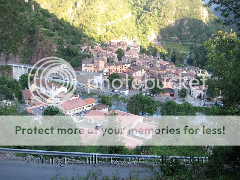
June, 28th: Roya – Saint Sauveur sur Tinée
We resumed our walking after a chilly night and headed toward the pass of the Crousette (2 450m) and the Tinee valley. We filled our bottles with fresh water from a stream and cleaned our shirts and socks as well.


Soon enough, we left the grassy hills behind us and entered a desertic-like area. We crossed paths with quite a lot of loud hikers who scared away the chamois. Sadly, we all followed the same trail, so we had to put up with them for most of the day…


We walked ahead of the other hikers and took a lunch break surrounded by lammergeyers who were waiting for our leftovers. We resumed our walking and crossed another herd of sheeps. The mountain dogs are quite big and impressive but behave nicely if you stay on the trail.
We eventually reached the barns, which weren’t deserted at all like we expected them to be. Local people who were working on a house didn’t look too happy to see campers arrive nearby, so we gave up our plans to spend the night there and kept walking. We thought we could set camp a bt further away but the terrain was too steep and kept twisting and turning downards to the valley. We reached the village of Saint Sauveur at 8pm and found a small camping site. The owners weren’t there but we put our tent up anyway and used the hot showers with relish.